Swakeleys Roundabout - There is a broken down car on the eastbound on slip road to the A40.
All lanes are open.
Nearest town: 3.65 miles from Pinner.
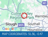
Cross Deep (All Directions) junction with Grotto Road.
All closures have been removed - Traffic flows have returned to normal in the area
Nearest town: 10.47 miles from Pinner.
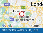
West Hill (westbound) between Keswick Road and Portinscale Road.
Partial lane one restriction.
All lanes have reopened on West Hill -Works are complete - Traffic flows have returned to normal
Nearest town: 12.36 miles from Pinner.
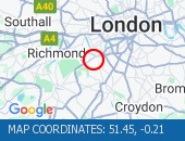
Horn Lane (All Directions) at the junction of Rectory Road - Three-way temporary signals in operation to facilitate works by BT.
Traffic is flowing well in the area.
Nearest town: 7.75 miles from Pinner.
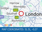
Talgarth Road (Westbound) between Gliddon Road North End Road - Lane one is blocked following a collision.
Traffic is slow moving on approach, expect delays.
Nearest town: 10.51 miles from Pinner.
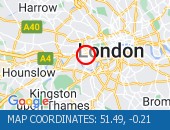
Edgware Road West Hendon Broadway junction with Cool Oak Lane (All Directions).
There is a reported collision at this location.
All lanes are open.
Nearest town: 6.96 miles from Pinner.
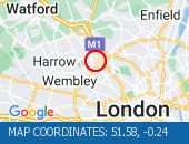
Burlington Road between High Street and Malden Way (Kingston By Pass) - road is closed due to a fire.
Traffic is flowing well.
Nearest town: 14.71 miles from Pinner.
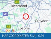
Dover House Road (Both Directions) at the junction of Upper Richmond Road - There will be stop / go boards in operation due to works in the area.
Works have now finished.
Nearest town: 11.02 miles from Pinner.
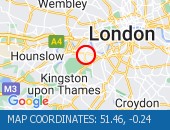
Western Avenue (Eastbound) near the junction of Victoria Road lane one blocked by a broken down van.
Vehicle has been recovered.
Traffis is flowing well.
Nearest town: 7.5 miles from Pinner.
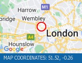
Western Avenue (Eastbound) near the junction with Alperton Lane - Collision - Lane one reopened.
Traffic is flowing well for the time of day.
Nearest town: 5.51 miles from Pinner.
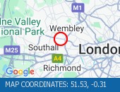
All lanes reopened.
Traffic is moving well.
Nearest town: 6.56 miles from Pinner.
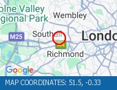
High Street (Both Directions) at the junction of Cambridge Road - 2-way temporary traffic signals in operation to facilitate new gas connection now removed.
Traffic is moving well.
Nearest town: 14.3 miles from Pinner.
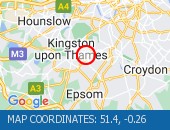
The Parkway (Northbound) at the junction of North Hyde Road - Road is now fully open.
Traffic is moving well.
Nearest town: 6.29 miles from Pinner.
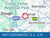
Watling Avenue (All Directions) at the junction of Orange Hill Road .
Traffic signals have been restored.
Traffic signals have been restored.
Nearest town: 5.95 miles from Pinner.
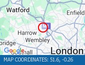
Forty Avenue (All Directions) at the junction of Preston Road.
Lane restrictions in place due to a collision.
The road has reopened.
Nearest town: 4.95 miles from Pinner.
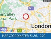
Heston Road (All Directions) at the junction of Wheatlands - Temporary signals in operation to facilitate resurfacing works.
Expect some delays while the restrictions are in place.
Nearest town: 7.11 miles from Pinner.
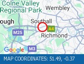
Kymberley Road (One Way System) between Headstone Road and College Road - Road closure to facilitate resurfacing works
Nearest town: 2.68 miles from Pinner.
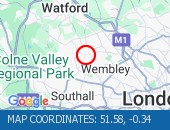
Hammersmith Flyover - lane 2 will be closed in both directions overnight for inspection works.
Nearest town: 10.2 miles from Pinner.
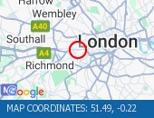
High Street Harlesden (All Directions) at the junction of Wendover Road - Faulty traffic signals The traffic signals have been repaired.
Nearest town: 7.49 miles from Pinner.
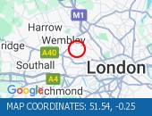
Gunnersbury Avenue (North Circular Road) (Southbound) at the junction of Power Road - Collision vehicles have now been cleared.
Traffic flowing well in the area.
Nearest town: 8.31 miles from Pinner.
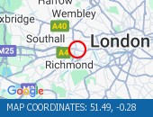
Lampton Road (Both Directions) at the junction of Alexandra Road - Temporary signals in operation to facilitate resurfacing works.
Nearest town: 8.11 miles from Pinner.
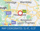
Various Lane Closures
Nearest town: 9.58 miles from Pinner.
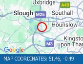
Various Lane Closures
Nearest town: 9.58 miles from Pinner.


 National Highways England
 Transport for London (TFL)
 Traffic Wales
 Traffic Scotland
 YOUR AD HERE