Sydenham Road (Both Directions) at the junction of Larkbere Road - Reports of an accident at this location.
Traffic is flowing well.
Nearest town: 12.23 miles from Oxted.
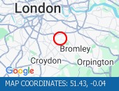
Dulwich Common (Both Directions) at the junction of Ryecotes Mead - All lanes are now open.
All lanes are now open.
Traffic is flowing well in the area.
Nearest town: 13.53 miles from Oxted.
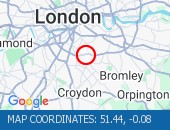
High Street (All Directions) at the junction of Homefield Rise - Temporary Traffic Signals to facilitate works Traffic is moving well.
Nearest town: 10.16 miles from Oxted.
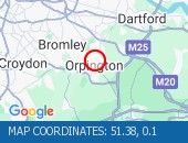
Bromley Common (Southbound) at the junction of Johnson Road - Road now reopened.
Traffic is moving well.
Nearest town: 9.96 miles from Oxted.
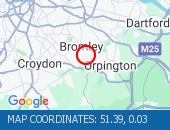
Norwood Road (Southbound) at the junction of Robson Road - Waterworks completed.
Traffic is moving well.
Nearest town: 13.09 miles from Oxted.
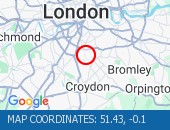
Trinity Road (Both Directions) at the junction of Eatonville Road - Temporary traffic signals will be in place to facilitate water works.
Nearest town: 14.31 miles from Oxted.
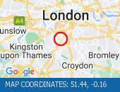
Purley Way (Northbound) between Whitestone Way and Commerce Way - Lane restrictions to facilitate carriageway chamber access works for new connections.
(Night works only)
Nearest town: 9.43 miles from Oxted.
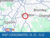
Sidcup By-pass Road (Eastbound) at the junction of Crittlls Corner - The A20 will be closed between Crittalls Corner and the M25 J3 for overnight works.
Nearest town: 12.69 miles from Oxted.
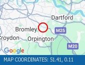
Station Road (All Directions)at the junction of Longlands Road will have various road closures in place for the duration of the works.
Nearest town: 13.69 miles from Oxted.
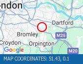
Sanderstead Hill (Both Directions) at the junction of Sundown Avenue - Possible lane closures because of a collision.
The road has reopened.
Nearest town: 6.52 miles from Oxted.
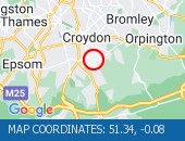
Nightingale Lane (Both Directions) between Bolingbroke Grove and Balham Hill - road closed to facilitate carriageway resurfacing.
Expect delays on approach.
Nearest town: 14.93 miles from Oxted.
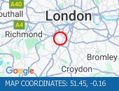
Bromley Common (Southbound) at the junction of Crown Lane - There is a collision at this location.
The southbound carriageway is blocked due a collision.
Police are directing traffic.
Expect delays
Nearest town: 9.96 miles from Oxted.
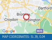
Balham Station Road (Both Directions) between Bedford Hill and Balham High Road - Road closed to facilitate carriageway resurfacing.
Use other routes.
Nearest town: 14.29 miles from Oxted.
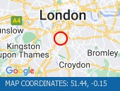
Purley Way (Northbound) between Whitestone Way and Commerce Way - Lane closure for BT works.
Nearest town: 9.49 miles from Oxted.
Greyhound Lane (Both Directions) at the junction of Streatham High Road - 2 way temporary traffic signals in operation to facilitate carriageway resurfacing.
Nearest town: 12.68 miles from Oxted.
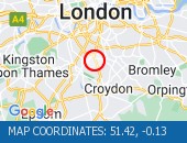
Beckenham Grove (Both Directions) between Scott's Lane and Shortlands Road - road closure to facilitate carriageway resurfacing.
Use other route.
Nearest town: 10.7 miles from Oxted.
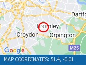
High Street (All Directions) at the junction of Grosvenor Road - two way temporary traffic signals will be in operation to facilitate gas works.
There are no restrictions in place at the present time.
Traffic is flowing normally.
Nearest town: 8.71 miles from Oxted.
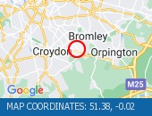
Middleton Road (Both Directions) between Bishopsford Road and St Helier Avenue - road closure to facilitate carriageway resurfacing.
Local diversion in place.
Nearest town: 11.73 miles from Oxted.
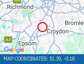
Bromley Road (All Directions) at the junction of Beckenham Hill Road - Temporary Traffic Signals in operation to facilitate works
Nearest town: 12.24 miles from Oxted.
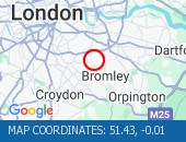
Farnborough Common (Both Directions) at the junction of Hilda Vale Road - Temporary signals in operation to facilitate resurfacing works.
Nearest town: 8.55 miles from Oxted.


 National Highways England
 Transport for London (TFL)
 Traffic Wales
 Traffic Scotland
 YOUR AD HERE