Swakeleys Roundabout - There is a broken down car on the eastbound on slip road to the A40.
All lanes are open.
Nearest town: 11.62 miles from How Wood.
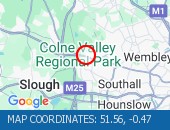
Western Avenue (Eastbound) near the junction with Alperton Lane - Collision - Lane one reopened.
Traffic is flowing well for the time of day.
Nearest town: 12.83 miles from How Wood.
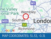
Edgware Road West Hendon Broadway junction with Cool Oak Lane (All Directions).
There is a reported collision at this location.
All lanes are open.
Nearest town: 11 miles from How Wood.
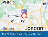
Praed Street (All Directions) at the junction of Spring Street - Temporary traffic signals in operation to facilitate water works Traffic is flowing well.
Nearest town: 15.99 miles from How Wood.
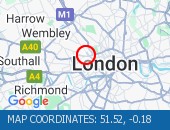
Finchley Road junction with Goldhurst Terrace (All Directions).
The Traffic lights at this junction are now working.
The Traffic lights at this junction are now working.
Nearest town: 14.13 miles from How Wood.
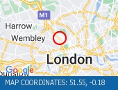
Watling Avenue (All Directions) at the junction of Orange Hill Road .
Traffic signals have been restored.
Traffic signals have been restored.
Nearest town: 8.88 miles from How Wood.
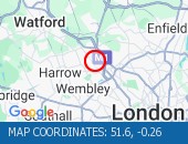
Forty Avenue (All Directions) at the junction of Preston Road.
Lane restrictions in place due to a collision.
The road has reopened.
Nearest town: 10.96 miles from How Wood.
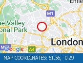
Western Avenue (Eastbound) near the junction of Victoria Road lane one blocked by a broken down van.
Vehicle has been recovered.
Traffis is flowing well.
Nearest town: 14.08 miles from How Wood.
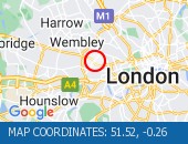
Kymberley Road (One Way System) between Headstone Road and College Road - Road closure to facilitate resurfacing works
Nearest town: 9.35 miles from How Wood.
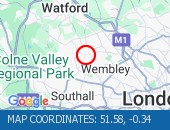
High Street Harlesden (All Directions) at the junction of Wendover Road - Faulty traffic signals The traffic signals have been repaired.
Nearest town: 13.35 miles from How Wood.
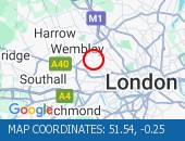
Single alternate line traffic
Nearest town: 12.53 miles from How Wood.


 National Highways England
 Transport for London (TFL)
 Traffic Wales
 Traffic Scotland
 YOUR AD HERE