West Hill (westbound) between Keswick Road and Portinscale Road.
Partial lane one restriction.
All lanes have reopened on West Hill -Works are complete - Traffic flows have returned to normal
Nearest town: 11.39 miles from Coulsdon.
Sydenham Road (Both Directions) at the junction of Larkbere Road - Reports of an accident at this location.
Traffic is flowing well.
Nearest town: 9.39 miles from Coulsdon.
Clapham Common North Side (Eastbound) at the junction of Long Road .
Road reopened and traffic is moving well.
Nearest town: 11.19 miles from Coulsdon.
Clapham Road (Both Directions) at the junction of Lingham Street- there is a collision at this location.
Road reopened - accident cleared
Nearest town: 11.8 miles from Coulsdon.
Dulwich Common (Both Directions) at the junction of Ryecotes Mead - All lanes are now open.
All lanes are now open.
Traffic is flowing well in the area.
Nearest town: 10 miles from Coulsdon.
Talgarth Road (Westbound) between Gliddon Road North End Road - Lane one is blocked following a collision.
Traffic is slow moving on approach, expect delays.
Nearest town: 13.77 miles from Coulsdon.
Harleyford Road junction with Kennington Oval (Northbound) There is a collision at this location.
Traffic is moving well.
Nearest town: 12.76 miles from Coulsdon.
Burlington Road between High Street and Malden Way (Kingston By Pass) - road is closed due to a fire.
Traffic is flowing well.
Nearest town: 8.78 miles from Coulsdon.
Dover House Road (Both Directions) at the junction of Upper Richmond Road - There will be stop / go boards in operation due to works in the area.
Works have now finished.
Nearest town: 12.52 miles from Coulsdon.
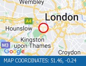
Greenwich High Road (Westbound) at the junction of Greenwich South Street - now clear.
Traffic is moving well.
Nearest town: 13.1 miles from Coulsdon.
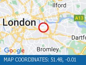
Tolworth Rise North (Northbound) - Lane restriction on on-slip to northbound A3 at the junction of Fairmead due to emergency gas works.
Restrictions have been removed.
All lanes open.
Nearest town: 8.97 miles from Coulsdon.
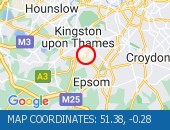
Marsham Street (All Directions) at the junction of Page Street - Lane restrictions controlled by three-way temporary traffic signals to facilitate telecomm ducting works.
Restrictions have been removed and all lanes are open.
Nearest town: 13.4 miles from Coulsdon.
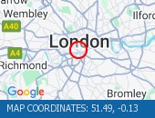
Lane closure to facilitate water works There are no reports of congestion in the area.
Nearest town: 12.85 miles from Coulsdon.
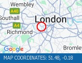
The Avenue (Southbound) at the junction of Windmill Drive - Lane one restrictions with single alternate lane traffic controlled by STOP / GO boards for BT works.
Traffic is flowing well in the area.
Nearest town: 10.85 miles from Coulsdon.
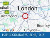
High Street (Both Directions) at the junction of Cambridge Road - 2-way temporary traffic signals in operation to facilitate new gas connection now removed.
Traffic is moving well.
Nearest town: 9.27 miles from Coulsdon.
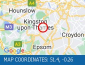
West Hill (Westbound) at the junction of Upper Richmond Road - Lane two blocked due to broken down van.
The broken down van has been recovered and traffic flows ahve returned to normal.
Nearest town: 11.45 miles from Coulsdon.
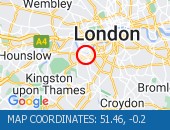
Bromley Common (Southbound) at the junction of Johnson Road - Road now reopened.
Traffic is moving well.
Nearest town: 9.01 miles from Coulsdon.
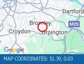
Buckingham Palace Road (All Directions) at the junction of Buckingham Gate - Temporary traffic signals in operation to facilitate road works.
The temporary traffic lights have been removed and traffic flows have returned to normal.
Nearest town: 13.79 miles from Coulsdon.
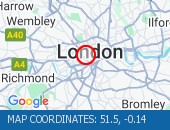
Trafalgar Road (Eastbound) at the junction of Park Row - Lane blocked due to a broken down tanker The broken down has now been removed and all lanes are open.
Traffic is flowing well
Nearest town: 13.55 miles from Coulsdon.
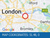
Battersea Park Road (Eastbound) at the junction of Battersea Bridge Road - Lane one is closed due to an emergency gas leak Traffic flows are normal for the time of day.
Nearest town: 12.12 miles from Coulsdon.
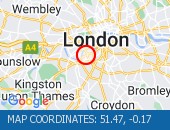
SFM Asset: 06/000001Shooters Hill Road (All Directions) at the junction of Prince Of Wales Road - The traffic lights are not working The traffic lights are not working at this junction, approach with care
Nearest town: 13.28 miles from Coulsdon.
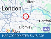
Shooters Hill Road (All Directions) The traffic lights at the junction are now working.
Traffic is moving well.
Nearest town: 13.24 miles from Coulsdon.
Norwood Road (Southbound) at the junction of Robson Road - Waterworks completed.
Traffic is moving well.
Nearest town: 9.23 miles from Coulsdon.
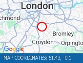
Cranley Gardens junction with Old Brompton Road (All directions).
Temporary traffic signals in operation to facilitate roadworks No reported delays in the area.
Nearest town: 13.48 miles from Coulsdon.
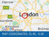
Victoria Street (Westbound) between Artillery Row and Bressenden Place.
There will be a westbound closure to facilitate drainage works.
Nearest town: 13.62 miles from Coulsdon.
Trinity Road (Both Directions) at the junction of Eatonville Road - Temporary traffic signals will be in place to facilitate water works.
Nearest town: 9.78 miles from Coulsdon.
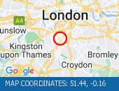
Purley Way (Northbound) between Whitestone Way and Commerce Way - Lane restrictions to facilitate carriageway chamber access works for new connections.
(Night works only)
Nearest town: 5.05 miles from Coulsdon.
Hardman Road (All Directions) at the junction of Dupree Road - Lane restrictions to facilitate roadworks All restrictions have been removed - Traffic flows have returned to normal
Nearest town: 14.25 miles from Coulsdon.
Sanderstead Hill (Both Directions) at the junction of Sundown Avenue - Possible lane closures because of a collision.
The road has reopened.
Nearest town: 2.97 miles from Coulsdon.
Nightingale Lane (Both Directions) between Bolingbroke Grove and Balham Hill - road closed to facilitate carriageway resurfacing.
Expect delays on approach.
Nearest town: 10.44 miles from Coulsdon.
Battersea Rise (Eastbound) at the junction of St John's Road - Lane one closure in place to remove and build a bus shelter.
Nearest town: 11.38 miles from Coulsdon.
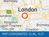
Bromley Common (Southbound) at the junction of Crown Lane - There is a collision at this location.
The southbound carriageway is blocked due a collision.
Police are directing traffic.
Expect delays
Nearest town: 9.07 miles from Coulsdon.
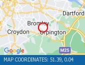
Balham Station Road (Both Directions) between Bedford Hill and Balham High Road - Road closed to facilitate carriageway resurfacing.
Use other routes.
Nearest town: 9.91 miles from Coulsdon.
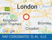
Thurston Road (Both Directions) at the junction of Leathwell Road - The road will be closed overnight to facilitate bridge maintenance works.
Nearest town: 12.36 miles from Coulsdon.
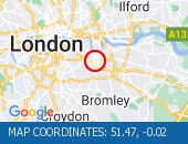
Beresford Street (Both Directions) at the junction of Macbean Street - One lane closed to facilitate the creation of a new road junction for a hotel complex.
Lane one (of two) closure in place.
Traffic is moving well on approach.
Nearest town: 15.43 miles from Coulsdon.
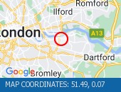
Purley Way (Northbound) between Whitestone Way and Commerce Way - Lane closure for BT works.
Nearest town: 5.15 miles from Coulsdon.
Grosvenor Gardens (All Directions) at the junction of Hobart Place one lane closed northbound and one lane closed eastbound on Hobart Place for works by Thames Water.
All lane restrictions have now been removed on Grosvenor Gardens and Hobart Place.
Traffic flows have returned to normal in the area.
Nearest town: 13.74 miles from Coulsdon.
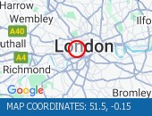
On Tolworth Broadway (Southbound) at the junction with A3 Tolworth Roundabout, there is a broken down vehicle blocking lane two of three).
Approach with caution.
All lanes have reopened.
Traffic is flowing well.
Nearest town: 8.96 miles from Coulsdon.
Greyhound Lane (Both Directions) at the junction of Streatham High Road - 2 way temporary traffic signals in operation to facilitate carriageway resurfacing.
Nearest town: 8.44 miles from Coulsdon.
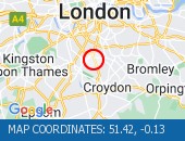
Victoria Street (Westbound) between Bressenden Place and Artillery Row - closed to facilitate drainage works.
Nearest town: 13.63 miles from Coulsdon.
Hammersmith Flyover - lane 2 will be closed in both directions overnight for inspection works.
Nearest town: 13.96 miles from Coulsdon.
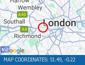
Beckenham Grove (Both Directions) between Scott's Lane and Shortlands Road - road closure to facilitate carriageway resurfacing.
Use other route.
Nearest town: 8.69 miles from Coulsdon.
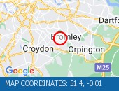
Nine Elms Lane (Eastbound) at the junction of St George's Wharf - Lane one closed to facilitate the removal of hoarding.
Nearest town: 12.75 miles from Coulsdon.
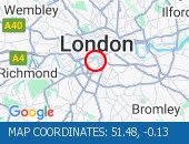
High Street (All Directions) at the junction of Grosvenor Road - two way temporary traffic signals will be in operation to facilitate gas works.
There are no restrictions in place at the present time.
Traffic is flowing normally.
Nearest town: 6.71 miles from Coulsdon.
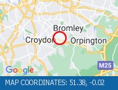
Warwick Road (Northbound) at the junction of Kensington High Street - Lane 1 closure for water works
Nearest town: 14.1 miles from Coulsdon.
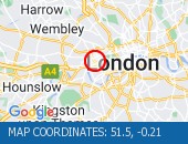
Gunnersbury Avenue (North Circular Road) (Southbound) at the junction of Power Road - Collision vehicles have now been cleared.
Traffic flowing well in the area.
Nearest town: 15.13 miles from Coulsdon.
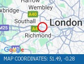
Lavender Hill (All Directions) at the junction of Falcon Road - Four-way temporary signals in operation to facilitate gully repairs.
Nearest town: 11.42 miles from Coulsdon.
Middleton Road (Both Directions) between Bishopsford Road and St Helier Avenue - road closure to facilitate carriageway resurfacing.
Local diversion in place.
Nearest town: 6.76 miles from Coulsdon.
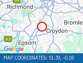
Bromley Road (All Directions) at the junction of Beckenham Hill Road - Temporary Traffic Signals in operation to facilitate works
Nearest town: 9.94 miles from Coulsdon.
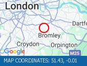
Farnborough Common (Both Directions) at the junction of Hilda Vale Road - Temporary signals in operation to facilitate resurfacing works.
Nearest town: 8.75 miles from Coulsdon.
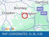
Bugsby's Way (Both Directions) at the junction of Peninsular Park Road - lane closure to enable Network Rail to carry out bridge repainting programme.
Nearest town: 14.42 miles from Coulsdon.


 National Highways England
 Transport for London (TFL)
 Traffic Wales
 Traffic Scotland
 YOUR AD HERE