Swakeleys Roundabout - There is a broken down car on the eastbound on slip road to the A40.
All lanes are open.
Nearest town: 2.88 miles from Colham Green.
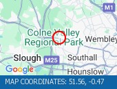
Cross Deep (All Directions) junction with Grotto Road.
All closures have been removed - Traffic flows have returned to normal in the area
Nearest town: 7.44 miles from Colham Green.
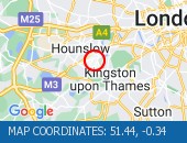
Leatherhead Road (Northbound).
Traffic is moving well.
Traffic is moving well.
Nearest town: 13.55 miles from Colham Green.
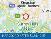
Tolworth Rise North (Northbound) - Lane restriction on on-slip to northbound A3 at the junction of Fairmead due to emergency gas works.
Restrictions have been removed.
All lanes open.
Nearest town: 12.21 miles from Colham Green.
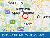
Western Avenue (Eastbound) near the junction with Alperton Lane - Collision - Lane one reopened.
Traffic is flowing well for the time of day.
Nearest town: 6.51 miles from Colham Green.
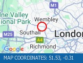
Horn Lane (All Directions) at the junction of Rectory Road - Three-way temporary signals in operation to facilitate works by BT.
Traffic is flowing well in the area.
Nearest town: 8.03 miles from Colham Green.
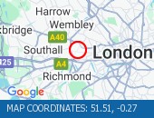
All lanes reopened.
Traffic is moving well.
Nearest town: 5.53 miles from Colham Green.
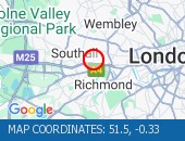
The Parkway (Northbound) at the junction of North Hyde Road - Road is now fully open.
Traffic is moving well.
Nearest town: 2.5 miles from Colham Green.
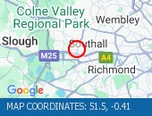
Forty Avenue (All Directions) at the junction of Preston Road.
Lane restrictions in place due to a collision.
The road has reopened.
Nearest town: 7.82 miles from Colham Green.
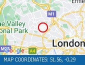
Heston Road (All Directions) at the junction of Wheatlands - Temporary signals in operation to facilitate resurfacing works.
Expect some delays while the restrictions are in place.
Nearest town: 4.31 miles from Colham Green.
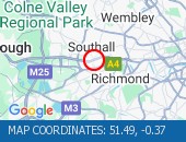
On Tolworth Broadway (Southbound) at the junction with A3 Tolworth Roundabout, there is a broken down vehicle blocking lane two of three).
Approach with caution.
All lanes have reopened.
Traffic is flowing well.
Nearest town: 12.27 miles from Colham Green.
Kymberley Road (One Way System) between Headstone Road and College Road - Road closure to facilitate resurfacing works
Nearest town: 6.74 miles from Colham Green.
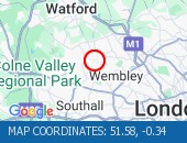
Gunnersbury Avenue (North Circular Road) (Southbound) at the junction of Power Road - Collision vehicles have now been cleared.
Traffic flowing well in the area.
Nearest town: 7.8 miles from Colham Green.
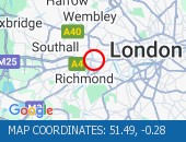
Lampton Road (Both Directions) at the junction of Alexandra Road - Temporary signals in operation to facilitate resurfacing works.
Nearest town: 5.04 miles from Colham Green.
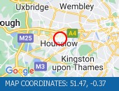
Roadworks
Nearest town: 10.09 miles from Colham Green.
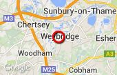
Jct 11, Anti-Clockwise, Entry Slip Road Closure
Nearest town: 10.11 miles from Colham Green.
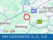
Jct 11 to Jct 10, Anti-Clockwise, Carriageway Closure
Nearest town: 13.2 miles from Colham Green.
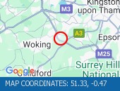
Jct 11 to Jct 10, Anti-Clockwise, Carriageway Closure
Nearest town: 13.2 miles from Colham Green.
Jct 11, Anti-Clockwise, Entry Slip Road Closure
Nearest town: 10.11 miles from Colham Green.
Various Lane Closures
Nearest town: 4.04 miles from Colham Green.
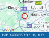
Various Lane Closures
Nearest town: 4.04 miles from Colham Green.
Taper - Lane 4/3/2 Closure Anti-Clockwise
Nearest town: 9.66 miles from Colham Green.
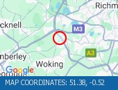
Taper - Lane 4/3/2 Closure Anti-Clockwise
Nearest town: 9.66 miles from Colham Green.


 National Highways England
 Transport for London (TFL)
 Traffic Wales
 Traffic Scotland
 YOUR AD HERE