Albert Road junction with Saville Road (All Directions): There is a reported building fire at this location.
All restrictions have now been lifted.
There are no reports of congestion in the area.
Nearest town: 11.18 miles from Chelsfield.
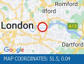
Rotherhithe Tunnel (All Directions) - Tunnel has fully re-opened.
Traffic flows are returning to normal for time of day.
Tunnel has fully re-opened.
Traffic flows are returning to normal for time of day.
Nearest town: 13.11 miles from Chelsfield.
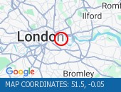
St Paul's Way (Both Directions) between Burgess Street and Bow Common Lane - Road closure to facilitate roadworks No restrictions in place.
Nearest town: 13.47 miles from Chelsfield.
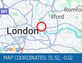
Greenwich High Road (Westbound) at the junction of Greenwich South Street - now clear.
Traffic is moving well.
Nearest town: 10.83 miles from Chelsfield.
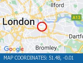
Blackwall Tunnel (Southbound Bore) (Southbound): the broken down motorcycle in the tunnel has been removed.
All congestion resulting from this broken down vehicle has cleared (although tailback remain at the present time - see separate entry).
Nearest town: 12.37 miles from Chelsfield.
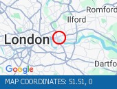
Ripple Road (Eastbound) - Lane three (of three) blocked due to a broken down vehicle.
The accident has been cleared and lane three has been reopened to traffic.
Traffic flows are returning to normal for the time of day.
Nearest town: 12.56 miles from Chelsfield.
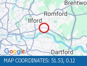
Sydenham Road (Both Directions) at the junction of Larkbere Road - Reports of an accident at this location.
Traffic is flowing well.
Nearest town: 9.19 miles from Chelsfield.
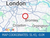
Romford Road (Both Directions) between Upton Lane and Green Street - Romford Road has reopened in both directions Romford Road has reopened in both directions, and vehicles that remain parked at the scene are not causing an obstruction.
Traffic is flowing normally.
Nearest town: 14.31 miles from Chelsfield.
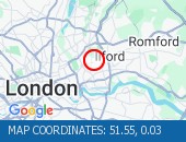
Blackwall Tunnel Northern Approach (Southbound) at the junction of East India Dock Road - Congestion due cleared.
A12 Southbound traffic flows have returned to normal for the time of day.
Nearest town: 12.76 miles from Chelsfield.
Newham Way (Eastbound) at the junction of Noel Road - All lanes now open.
All lanes now open.
Nearest town: 12.3 miles from Chelsfield.
High Street (All Directions) at the junction of Homefield Rise - Temporary Traffic Signals to facilitate works Traffic is moving well.
Nearest town: 2.25 miles from Chelsfield.
Bromley Common (Southbound) at the junction of Johnson Road - Road now reopened.
Traffic is moving well.
Nearest town: 5.07 miles from Chelsfield.
Rotherhithe Tunnel (Northbound) there is a broken down vehicle paritally blocking the road.
Approach with care.
The tunnel has been opened in both directions.
Traffic is light and flowing well in the area.
Nearest town: 13.43 miles from Chelsfield.
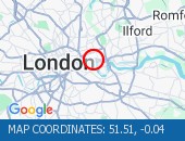
SFM Asset: 06/000001Shooters Hill Road (All Directions) at the junction of Prince Of Wales Road - The traffic lights are not working The traffic lights are not working at this junction, approach with care
Nearest town: 9.93 miles from Chelsfield.
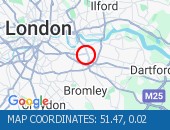
Shooters Hill Road (All Directions) The traffic lights at the junction are now working.
Traffic is moving well.
Nearest town: 9.91 miles from Chelsfield.
A13 Ripple Road (Eastbound) just after the entry slip from Lodge Avenue - All lanes reopened following a collision.
Traffic flows are normal for the time of day.
Nearest town: 12.67 miles from Chelsfield.
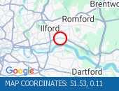
Limehouse Link Tunnel (Westbound) Lane one is blocked by a broken down vehicle.
The vehicle has now been removed - all lanes are open.
Nearest town: 13.07 miles from Chelsfield.
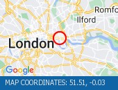
Limehouse Link Tunnel (Both Directions) - Closure overnight to facilitate works
Nearest town: 13.38 miles from Chelsfield.
Sidcup By-pass Road (Eastbound) at the junction of Crittlls Corner - The A20 will be closed between Crittalls Corner and the M25 J3 for overnight works.
Nearest town: 4.45 miles from Chelsfield.
Station Road (All Directions)at the junction of Longlands Road will have various road closures in place for the duration of the works.
Nearest town: 5.9 miles from Chelsfield.
Limehouse Link Tunnel (Eastbound) - lane one blocked due to broken down car.
Vehicle has now been recovered.
All lanes now reopen.
Traffic flowing well.
Nearest town: 13.06 miles from Chelsfield.
Hardman Road (All Directions) at the junction of Dupree Road - Lane restrictions to facilitate roadworks All restrictions have been removed - Traffic flows have returned to normal
Nearest town: 10.58 miles from Chelsfield.
Bromley Common (Southbound) at the junction of Crown Lane - There is a collision at this location.
The southbound carriageway is blocked due a collision.
Police are directing traffic.
Expect delays
Nearest town: 4.97 miles from Chelsfield.
Thurston Road (Both Directions) at the junction of Leathwell Road - The road will be closed overnight to facilitate bridge maintenance works.
Nearest town: 10.42 miles from Chelsfield.
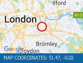
Beresford Street (Both Directions) at the junction of Macbean Street - One lane closed to facilitate the creation of a new road junction for a hotel complex.
Lane one (of two) closure in place.
Traffic is moving well on approach.
Nearest town: 10.24 miles from Chelsfield.
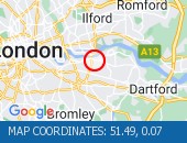
Trafalgar Road (Eastbound) at the junction of Park Row - Lane blocked due to a broken down tanker The broken down has now been removed and all lanes are open.
Traffic is flowing well
Nearest town: 10.9 miles from Chelsfield.
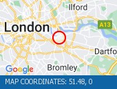
Beckenham Grove (Both Directions) between Scott's Lane and Shortlands Road - road closure to facilitate carriageway resurfacing.
Use other route.
Nearest town: 7.1 miles from Chelsfield.
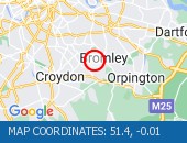
High Street (All Directions) at the junction of Grosvenor Road - two way temporary traffic signals will be in operation to facilitate gas works.
There are no restrictions in place at the present time.
Traffic is flowing normally.
Nearest town: 6.89 miles from Chelsfield.
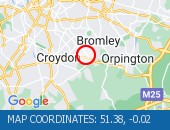
Bromley Road (All Directions) at the junction of Beckenham Hill Road - Temporary Traffic Signals in operation to facilitate works
Nearest town: 8.16 miles from Chelsfield.
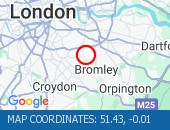
Farnborough Common (Both Directions) at the junction of Hilda Vale Road - Temporary signals in operation to facilitate resurfacing works.
Nearest town: 3.31 miles from Chelsfield.
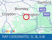
Bugsby's Way (Both Directions) at the junction of Peninsular Park Road - lane closure to enable Network Rail to carry out bridge repainting programme.
Nearest town: 10.79 miles from Chelsfield.


 National Highways England
 Transport for London (TFL)
 Traffic Wales
 Traffic Scotland
 YOUR AD HERE