Swakeleys Roundabout - There is a broken down car on the eastbound on slip road to the A40.
All lanes are open.
Nearest town: 13.99 miles from Berrylands.
Cross Deep (All Directions) junction with Grotto Road.
All closures have been removed - Traffic flows have returned to normal in the area
Nearest town: 4.13 miles from Berrylands.
Leatherhead Road (Northbound).
Traffic is moving well.
Traffic is moving well.
Nearest town: 3.54 miles from Berrylands.
West Hill (westbound) between Keswick Road and Portinscale Road.
Partial lane one restriction.
All lanes have reopened on West Hill -Works are complete - Traffic flows have returned to normal
Nearest town: 5.68 miles from Berrylands.
Marylebone Road (Eastbound) lane one closed due to a broken down van.
Vehicle has been recovered.
Nearest town: 10.4 miles from Berrylands.
Hampstead Road junction with Harrington Square (Southbound): There is a low defective road sign at this location.
The sign has now been made safe.
Nearest town: 11.97 miles from Berrylands.
Harleyford Road junction with Kennington Oval (Northbound) There is a collision at this location.
Traffic is moving well.
Nearest town: 10.02 miles from Berrylands.
Giltspur Street (All Directions) closed to facilitate an event.
No restrictions in place.
Nearest town: 11.96 miles from Berrylands.
Knightsbridge (Westbound) at the junction of Wilton Place - Restriction has been lifted.
All lanes are open.
Nearest town: 9.7 miles from Berrylands.
Hanover Street (Both Directions) at the junction of Regent Street - Road closure due to a crane operation Hanover Street is open.
Nearest town: 10.74 miles from Berrylands.
Wardour Street (Both Directions) between Brewer Street and D'arblay Street works have ended.
Works have ended
Nearest town: 10.88 miles from Berrylands.
Burlington Road between High Street and Malden Way (Kingston By Pass) - road is closed due to a fire.
Traffic is flowing well.
Nearest town: 2.15 miles from Berrylands.
Dover House Road (Both Directions) at the junction of Upper Richmond Road - There will be stop / go boards in operation due to works in the area.
Works have now finished.
Nearest town: 5.65 miles from Berrylands.
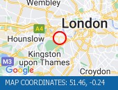
Tolworth Rise North (Northbound) - Lane restriction on on-slip to northbound A3 at the junction of Fairmead due to emergency gas works.
Restrictions have been removed.
All lanes open.
Nearest town: 0.78 miles from Berrylands.
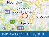
Marylebone Road (All Directions) at the junction of Park Crescent the traffic signals are not working correctly.
Traffic is flowing normally for the time of day.
Nearest town: 11.12 miles from Berrylands.
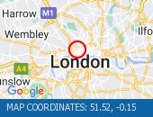
Marsham Street (All Directions) at the junction of Page Street - Lane restrictions controlled by three-way temporary traffic signals to facilitate telecomm ducting works.
Restrictions have been removed and all lanes are open.
Nearest town: 10.03 miles from Berrylands.
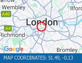
Lane closure to facilitate water works There are no reports of congestion in the area.
Nearest town: 7.92 miles from Berrylands.
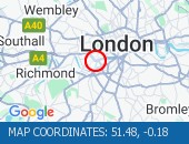
Western Avenue (Eastbound) near the junction with Alperton Lane - Collision - Lane one reopened.
Traffic is flowing well for the time of day.
Nearest town: 9.87 miles from Berrylands.
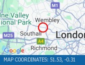
The Avenue (Southbound) at the junction of Windmill Drive - Lane one restrictions with single alternate lane traffic controlled by STOP / GO boards for BT works.
Traffic is flowing well in the area.
Nearest town: 7.56 miles from Berrylands.
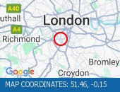
Horn Lane (All Directions) at the junction of Rectory Road - Three-way temporary signals in operation to facilitate works by BT.
Traffic is flowing well in the area.
Nearest town: 8.27 miles from Berrylands.
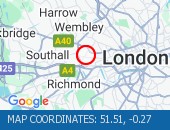
Clapham Common North Side (Eastbound) at the junction of Long Road - lane restriction to facilitate footway resurfacing works lifted.
Traffic is moving well.
Nearest town: 8.06 miles from Berrylands.
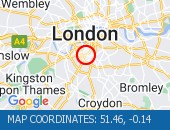
Clapham Road (Both Directions) at the junction of Lingham Street- there is a collision at this location.
Road reopened - accident cleared
Nearest town: 9.12 miles from Berrylands.
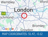
A4 Piccadilly (Eastbound) at the junction of Old Bond Street - lane restriction due in to facilitate crane operation.
Currently no visible restrictions.
Traffic flow is light with no delays.
Nearest town: 10.48 miles from Berrylands.
All lanes reopened.
Traffic is moving well.
Nearest town: 8.07 miles from Berrylands.
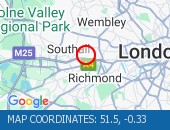
Talgarth Road (Westbound) between Gliddon Road North End Road - Lane one is blocked following a collision.
Traffic is slow moving on approach, expect delays.
Nearest town: 7.71 miles from Berrylands.
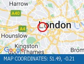
Edgware Road West Hendon Broadway junction with Cool Oak Lane (All Directions).
There is a reported collision at this location.
All lanes are open.
Nearest town: 13.09 miles from Berrylands.
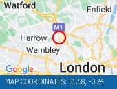
High Street (Both Directions) at the junction of Cambridge Road - 2-way temporary traffic signals in operation to facilitate new gas connection now removed.
Traffic is moving well.
Nearest town: 1.73 miles from Berrylands.
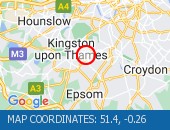
The Parkway (Northbound) at the junction of North Hyde Road - Road is now fully open.
Traffic is moving well.
Nearest town: 9.09 miles from Berrylands.
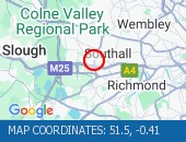
West Hill (Westbound) at the junction of Upper Richmond Road - Lane two blocked due to broken down van.
The broken down van has been recovered and traffic flows ahve returned to normal.
Nearest town: 5.98 miles from Berrylands.
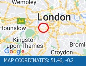
Praed Street (All Directions) at the junction of Spring Street - Temporary traffic signals in operation to facilitate water works Traffic is flowing well.
Nearest town: 9.98 miles from Berrylands.
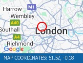
Finchley Road junction with Goldhurst Terrace (All Directions).
The Traffic lights at this junction are now working.
The Traffic lights at this junction are now working.
Nearest town: 11.79 miles from Berrylands.
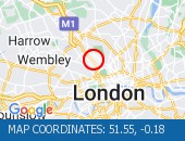
Buckingham Palace Road (All Directions) at the junction of Buckingham Gate - Temporary traffic signals in operation to facilitate road works.
The temporary traffic lights have been removed and traffic flows have returned to normal.
Nearest town: 9.9 miles from Berrylands.
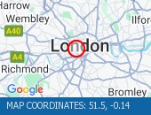
High Holborn (All Directions) at the junction of Endell Street - The traffic lights are not working.
Signals have been restored.
Nearest town: 11.24 miles from Berrylands.
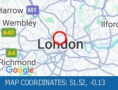
Caledonian Road (Southbound) at the junction of Omega Place - Lane restrictions to facilitate water works No restrictions in the area.
Traffic is free flowing.
Nearest town: 12.22 miles from Berrylands.
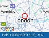
Battersea Park Road (Eastbound) at the junction of Battersea Bridge Road - Lane one is closed due to an emergency gas leak Traffic flows are normal for the time of day.
Nearest town: 7.88 miles from Berrylands.
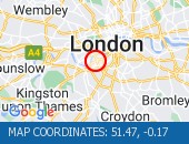
Praed Street (northbound) at the junction of Edgware Road - A broken down van is blocking the middle lane.
Vehicle has been recovered.
Nearest town: 10.37 miles from Berrylands.
A501 Marylebone Road (Both Directions) between Lisson Grove and Seymour Place - All lanes are currently open on Marylebone Road - Traffic is flowing well.
No restrictions currently in place.
Nearest town: 10.59 miles from Berrylands.
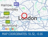
Forty Avenue (All Directions) at the junction of Preston Road.
Lane restrictions in place due to a collision.
The road has reopened.
Nearest town: 11.94 miles from Berrylands.
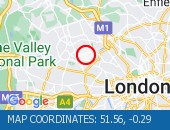
Goodge Street at the junction of Tottenham Court Road - Lane one (of two) is closed due to a burst water main No visible lane restrictions in place.
Nearest town: 11.28 miles from Berrylands.
Norwood Road (Southbound) at the junction of Robson Road - Waterworks completed.
Traffic is moving well.
Nearest town: 8.62 miles from Berrylands.
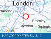
Western Avenue (Eastbound) near the junction of Victoria Road lane one blocked by a broken down van.
Vehicle has been recovered.
Traffis is flowing well.
Nearest town: 9.14 miles from Berrylands.
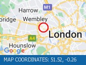
Wellington Road (Northbound) at the junction of Grove End Road - The traffic signals have been damaged.
Police are partially blocking the junction for safety reasons.
No restrictions in place.
Nearest town: 11.19 miles from Berrylands.
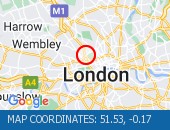
Cranley Gardens junction with Old Brompton Road (All directions).
Temporary traffic signals in operation to facilitate roadworks No reported delays in the area.
Nearest town: 8.49 miles from Berrylands.
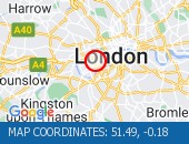
Purley Way (Northbound) between Whitestone Way and Commerce Way - Lane restrictions to facilitate carriageway chamber access works for new connections.
(Night works only)
Nearest town: 7.47 miles from Berrylands.
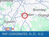
Nightingale Lane (Both Directions) between Bolingbroke Grove and Balham Hill - road closed to facilitate carriageway resurfacing.
Expect delays on approach.
Nearest town: 6.83 miles from Berrylands.
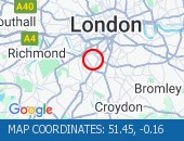
Battersea Rise (Eastbound) at the junction of St John's Road - Lane one closure in place to remove and build a bus shelter.
Nearest town: 7.29 miles from Berrylands.
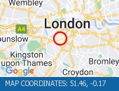
Balham Station Road (Both Directions) between Bedford Hill and Balham High Road - Road closed to facilitate carriageway resurfacing.
Use other routes.
Nearest town: 7.11 miles from Berrylands.
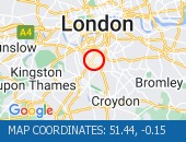
Oxford Street junction with Davies Street - Single alternate lane traffic controlled by STOP / GO boards or temporary traffic signals to facilitate works Works take place overnight between 2200-0600hrs.
Delays possible between these times.
Nearest town: 10.57 miles from Berrylands.
Charterhouse Street (Both Directions) between St John Street and East Poultry Avenue - full closure due to crane operation on weekends only.
Drivers are advised to use an alternative route when closures are in place.
Road remains open at present.
Nearest town: 12.07 miles from Berrylands.
Euston Road (Westbound) at the junction of Argyle Street - Lane one closed overnight to facilitate subway works.
Nearest town: 12.05 miles from Berrylands.
Notting Hill Gate (Westbound) at the junction of Campden Hill Road.
Road closure following a collision.
Notting Hill Gate westbound has reopened following the earlier road trafic collision.
Traffic is flowing well in the area.
Nearest town: 9.11 miles from Berrylands.
Purley Way (Northbound) between Whitestone Way and Commerce Way - Lane closure for BT works.
Nearest town: 7.53 miles from Berrylands.
Grosvenor Gardens (All Directions) at the junction of Hobart Place one lane closed northbound and one lane closed eastbound on Hobart Place for works by Thames Water.
All lane restrictions have now been removed on Grosvenor Gardens and Hobart Place.
Traffic flows have returned to normal in the area.
Nearest town: 9.72 miles from Berrylands.
Park Lane (Southbound) at the junction of Hyde Park Corner - Congestion on approach.
Congestion has cleared.
Nearest town: 9.87 miles from Berrylands.
Strand (Eastbound) at the junction of Burleigh Street Contractors have attended to manhole.
Restrictions have been removed.
Nearest town: 11.17 miles from Berrylands.
Archway Road (All Directions) at the junction of Tollhouse Way - Signal upgrade works.
Expect delays when restrictions in operation.
Works are currently confined to the footways and central reservations.
Nearest town: 13.87 miles from Berrylands.
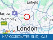
On Tolworth Broadway (Southbound) at the junction with A3 Tolworth Roundabout, there is a broken down vehicle blocking lane two of three).
Approach with caution.
All lanes have reopened.
Traffic is flowing well.
Nearest town: 0.83 miles from Berrylands.
Kymberley Road (One Way System) between Headstone Road and College Road - Road closure to facilitate resurfacing works
Nearest town: 13.31 miles from Berrylands.
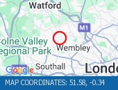
Hammersmith Flyover - lane 2 will be closed in both directions overnight for inspection works.
Nearest town: 7.64 miles from Berrylands.
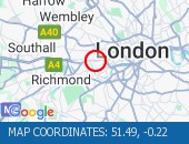
New Fetter Lane (All Directions) between Holborn Viaduct and Roundabout Bartlett Court - closed for crane operation.
Nearest town: 11.87 miles from Berrylands.
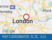
Hampstead Road (Southbound) at the junction of William Road - Burst water main at this location has now bee repaired.
Southbound bus lane is now open.
Traffic is free flowing in the area.
Nearest town: 11.53 miles from Berrylands.
Nine Elms Lane (Eastbound) at the junction of St George's Wharf - Lane one closed to facilitate the removal of hoarding.
Nearest town: 9.64 miles from Berrylands.
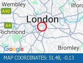
High Street Harlesden (All Directions) at the junction of Wendover Road - Faulty traffic signals The traffic signals have been repaired.
Nearest town: 10.26 miles from Berrylands.
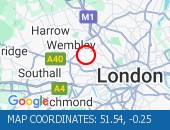
Gunnersbury Avenue (North Circular Road) (Southbound) at the junction of Power Road - Collision vehicles have now been cleared.
Traffic flowing well in the area.
Nearest town: 7.17 miles from Berrylands.
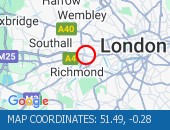
Victoria Street (Westbound) between Artillery Row and Bressenden Place.
There will be a westbound closure to facilitate drainage works.
Nearest town: 9.88 miles from Berrylands.
Middleton Road (Both Directions) between Bishopsford Road and St Helier Avenue - road closure to facilitate carriageway resurfacing.
Local diversion in place.
Nearest town: 4.8 miles from Berrylands.
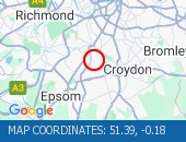
Trinity Road (Both Directions) at the junction of Eatonville Road - Temporary traffic signals will be in place to facilitate water works.
Nearest town: 6.47 miles from Berrylands.
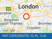
Lampton Road (Both Directions) at the junction of Alexandra Road - Temporary signals in operation to facilitate resurfacing works.
Nearest town: 6.63 miles from Berrylands.
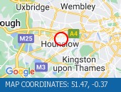
Oxford Street (Eastbound) at the junction of Marble Arch - lane closure to facilitate bus shelter maintenance.
Nearest town: 10.27 miles from Berrylands.
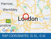
Euston Road (Eastbound) at the junction of Crestfield Street - Lane one closed overnight outside Kings Cross station to facilitate pavement works.
Nearest town: 12.11 miles from Berrylands.
Heston Road (All Directions) at the junction of Wheatlands - Temporary signals in operation to facilitate resurfacing works.
Expect some delays while the restrictions are in place.
Nearest town: 7.6 miles from Berrylands.
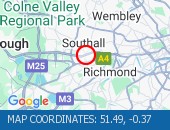
Greyhound Lane (Both Directions) at the junction of Streatham High Road - 2 way temporary traffic signals in operation to facilitate carriageway resurfacing.
Nearest town: 7.33 miles from Berrylands.
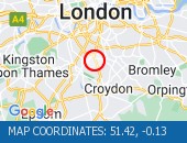
Victoria Street (Westbound) between Bressenden Place and Artillery Row - closed to facilitate drainage works.
Nearest town: 9.81 miles from Berrylands.
Warwick Road (Northbound) at the junction of Kensington High Street - Lane 1 closure for water works
Nearest town: 8.25 miles from Berrylands.
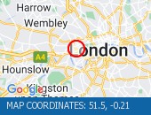
Lavender Hill (All Directions) at the junction of Falcon Road - Four-way temporary signals in operation to facilitate gully repairs.
Nearest town: 7.32 miles from Berrylands.
Roadworks
Nearest town: 7.58 miles from Berrylands.
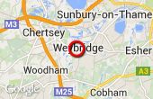
Jct 11 to Jct 10, Anti-Clockwise, Carriageway Closure
Nearest town: 8.98 miles from Berrylands.
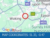
Jct 11 to Jct 10, Anti-Clockwise, Carriageway Closure
Nearest town: 8.98 miles from Berrylands.


 National Highways England
 Transport for London (TFL)
 Traffic Wales
 Traffic Scotland
 YOUR AD HERE