Hampstead Road junction with Harrington Square (Southbound): There is a low defective road sign at this location.
The sign has now been made safe.
Nearest town: 14.08 miles from Wormley.
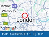
Lordship Lane (All Directions) at the junction of Bruce Grove - Temporary traffic lights in place due to water works Traffic is flowing well in the area.
Nearest town: 9.09 miles from Wormley.
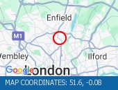
Green Street (All Directions) at the junction of Jute Lane - The level crossing barriers are now working.
Fault now repaired.
Nearest town: 4.96 miles from Wormley.
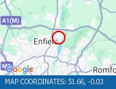
Lordship Lane (All Directions) at the junction of The Roundway - Collision - Lordship Lane is blocked eastbound -Slow moving traffic on approach All roads have reopened.
Traffic is flowing well.
Nearest town: 9.29 miles from Wormley.
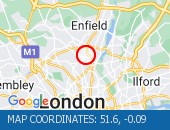
Ripple Road (Eastbound) - Lane three (of three) blocked due to a broken down vehicle.
The accident has been cleared and lane three has been reopened to traffic.
Traffic flows are returning to normal for the time of day.
Nearest town: 15.06 miles from Wormley.
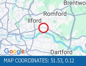
Bowes Road (North Circular Road) (All Directions) - The traffic signals are not operating under central computer control at this junction.
Traffic signals at this location are now on and working.
Nearest town: 8.6 miles from Wormley.
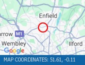
Walthamstow Avenue (North Circular Road) (Eastbound) On approach to the Crooked Billet Roundabout.
Partial restriction of the off slip towards the roundabout due to an accident.
The collision has been cleared.
All lanes are open.
Nearest town: 8.39 miles from Wormley.
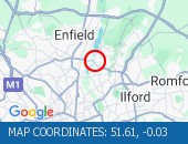
Southend Road (North Circular Road) at the junction of Wadham Road - All lanes are now open.
All lanes are now open.
Traffic is flowing well.
Nearest town: 8.93 miles from Wormley.
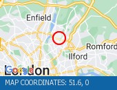
Finchley Road junction with Goldhurst Terrace (All Directions).
The Traffic lights at this junction are now working.
The Traffic lights at this junction are now working.
Nearest town: 14.06 miles from Wormley.
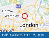
Caledonian Road (Southbound) at the junction of Omega Place - Lane restrictions to facilitate water works No restrictions in the area.
Traffic is free flowing.
Nearest town: 14.07 miles from Wormley.
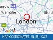
Stamford Hill (All Directions) at the junction of Clapton Common - Traffic signals are out of order.
Traffic flows have returned to normal.
Nearest town: 10.76 miles from Wormley.
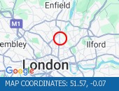
Aldermans Hill at the junction with Green Lanes - There will be temporary signals in operation due to a crane in the area.
No restrictions in place.
Nearest town: 8.26 miles from Wormley.
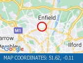
Crooked Billet Underpass (Westbound) - Lane closure overnight to facilitate works The restrictions have been removed.
Nearest town: 8.76 miles from Wormley.
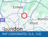
A13 Ripple Road (Eastbound) just after the entry slip from Lodge Avenue - All lanes reopened following a collision.
Traffic flows are normal for the time of day.
Nearest town: 14.82 miles from Wormley.
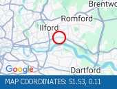
Stoke Newington High Street (Both Directions) at the junction of Stoke Newington Church Street.
Traffic lights are working.
Traffic signals are on and working.
Traffic is moving well.
Nearest town: 11.56 miles from Wormley.
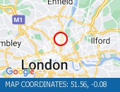
Romford Road (Both Directions) between Upton Lane and Green Street - Romford Road has reopened in both directions Romford Road has reopened in both directions, and vehicles that remain parked at the scene are not causing an obstruction.
Traffic is flowing normally.
Nearest town: 12.75 miles from Wormley.
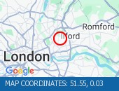
Angel Road (North Circular Road) (All Directions) at the junction of the Cooks Ferry Flyover - The A406 has been fully reopened eastbound with one lane reopened in the westbound carriageway.
All lanes open with traffic flowing well.
Nearest town: 7.89 miles from Wormley.
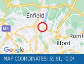
Southgate Circus junction with Chase Side(All Directions) There is a collision at this location.
Traffic is flowing well.
Nearest town: 7.72 miles from Wormley.
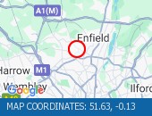
Essex Road at the junction with Cross Street - Restrictions in place to facilitate urgent water works All works now complete and restrictions now removed.
Nearest town: 13.33 miles from Wormley.
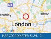
Wellington Road (Northbound) at the junction of Grove End Road - The traffic signals have been damaged.
Police are partially blocking the junction for safety reasons.
No restrictions in place.
Nearest town: 14.65 miles from Wormley.
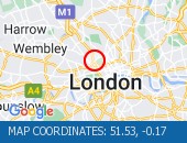
Crownfield Road (All Directions) at the junction of A112 Leyton High Road - Temporary signals in operation due to bus shelter upgrade works.
(Sundays Only)
Nearest town: 12.19 miles from Wormley.
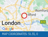
Euston Road (Westbound) at the junction of Argyle Street - Lane one closed overnight to facilitate subway works.
Nearest town: 14.21 miles from Wormley.
Euston Road (Eastbound) at the junction of Crestfield Street - Lane one closed overnight outside Kings Cross station to facilitate pavement works.
Nearest town: 14.16 miles from Wormley.
Archway Road (All Directions) at the junction of Tollhouse Way - Signal upgrade works.
Expect delays when restrictions in operation.
Works are currently confined to the footways and central reservations.
Nearest town: 12.03 miles from Wormley.
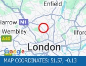
Seven Sisters Road (Both Directions) at the junction of A10 Tottenham High Road- The road will be closed overnight to facilitate works.
Nearest town: 10.15 miles from Wormley.
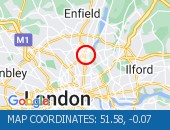
Station Road (All Directions) between Valence Avenue and Broomfield Road - Temporary traffic signals in operation to facilitate resurfacing works.
Nearest town: 13.12 miles from Wormley.
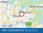
Broad Lane (Northbound) there will be no right turn into High Road due to works in the area.
Nearest town: 10.03 miles from Wormley.


 National Highways England
 Transport for London (TFL)
 Traffic Wales
 Traffic Scotland
 YOUR AD HERE