Cross Deep (All Directions) junction with Grotto Road.
All closures have been removed - Traffic flows have returned to normal in the area
Nearest town: 13.33 miles from Lower Kingswood.
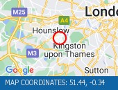
Leatherhead Road (Northbound).
Traffic is moving well.
Traffic is moving well.
Nearest town: 6.87 miles from Lower Kingswood.
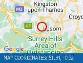
West Hill (westbound) between Keswick Road and Portinscale Road.
Partial lane one restriction.
All lanes have reopened on West Hill -Works are complete - Traffic flows have returned to normal
Nearest town: 13.25 miles from Lower Kingswood.
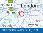
Dulwich Common (Both Directions) at the junction of Ryecotes Mead - All lanes are now open.
All lanes are now open.
Traffic is flowing well in the area.
Nearest town: 13.9 miles from Lower Kingswood.
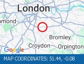
Burlington Road between High Street and Malden Way (Kingston By Pass) - road is closed due to a fire.
Traffic is flowing well.
Nearest town: 9.48 miles from Lower Kingswood.
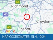
Tolworth Rise North (Northbound) - Lane restriction on on-slip to northbound A3 at the junction of Fairmead due to emergency gas works.
Restrictions have been removed.
All lanes open.
Nearest town: 8.56 miles from Lower Kingswood.
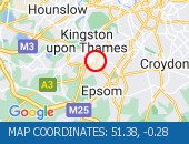
The Avenue (Southbound) at the junction of Windmill Drive - Lane one restrictions with single alternate lane traffic controlled by STOP / GO boards for BT works.
Traffic is flowing well in the area.
Nearest town: 13.69 miles from Lower Kingswood.
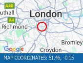
Sydenham Road (Both Directions) at the junction of Larkbere Road - Reports of an accident at this location.
Traffic is flowing well.
Nearest town: 13.87 miles from Lower Kingswood.
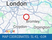
Clapham Common North Side (Eastbound) at the junction of Long Road - lane restriction to facilitate footway resurfacing works lifted.
Traffic is moving well.
Nearest town: 14.15 miles from Lower Kingswood.
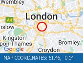
High Street (Both Directions) at the junction of Cambridge Road - 2-way temporary traffic signals in operation to facilitate new gas connection now removed.
Traffic is moving well.
Nearest town: 9.73 miles from Lower Kingswood.
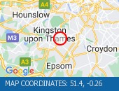
West Hill (Westbound) at the junction of Upper Richmond Road - Lane two blocked due to broken down van.
The broken down van has been recovered and traffic flows ahve returned to normal.
Nearest town: 13.43 miles from Lower Kingswood.
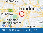
Norwood Road (Southbound) at the junction of Robson Road - Waterworks completed.
Traffic is moving well.
Nearest town: 12.89 miles from Lower Kingswood.
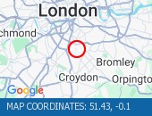
Purley Way (Northbound) between Whitestone Way and Commerce Way - Lane restrictions to facilitate carriageway chamber access works for new connections.
(Night works only)
Nearest town: 8.86 miles from Lower Kingswood.
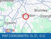
Sanderstead Hill (Both Directions) at the junction of Sundown Avenue - Possible lane closures because of a collision.
The road has reopened.
Nearest town: 8 miles from Lower Kingswood.
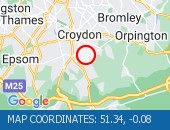
Nightingale Lane (Both Directions) between Bolingbroke Grove and Balham Hill - road closed to facilitate carriageway resurfacing.
Expect delays on approach.
Nearest town: 13.09 miles from Lower Kingswood.
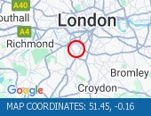
Battersea Rise (Eastbound) at the junction of St John's Road - Lane one closure in place to remove and build a bus shelter.
Nearest town: 13.96 miles from Lower Kingswood.
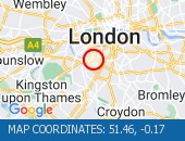
Balham Station Road (Both Directions) between Bedford Hill and Balham High Road - Road closed to facilitate carriageway resurfacing.
Use other routes.
Nearest town: 12.8 miles from Lower Kingswood.
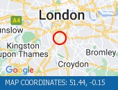
Purley Way (Northbound) between Whitestone Way and Commerce Way - Lane closure for BT works.
Nearest town: 8.98 miles from Lower Kingswood.
On Tolworth Broadway (Southbound) at the junction with A3 Tolworth Roundabout, there is a broken down vehicle blocking lane two of three).
Approach with caution.
All lanes have reopened.
Traffic is flowing well.
Nearest town: 8.42 miles from Lower Kingswood.
Greyhound Lane (Both Directions) at the junction of Streatham High Road - 2 way temporary traffic signals in operation to facilitate carriageway resurfacing.
Nearest town: 11.74 miles from Lower Kingswood.
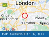
Middleton Road (Both Directions) between Bishopsford Road and St Helier Avenue - road closure to facilitate carriageway resurfacing.
Local diversion in place.
Nearest town: 8.98 miles from Lower Kingswood.
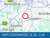
Trinity Road (Both Directions) at the junction of Eatonville Road - Temporary traffic signals will be in place to facilitate water works.
Nearest town: 12.44 miles from Lower Kingswood.
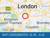
Lavender Hill (All Directions) at the junction of Falcon Road - Four-way temporary signals in operation to facilitate gully repairs.
Nearest town: 14 miles from Lower Kingswood.


 National Highways England
 Transport for London (TFL)
 Traffic Wales
 Traffic Scotland
 YOUR AD HERE